Integrated real-time monitoring and early warning systems for the prevention and management of natural hazards — floods and river overflows, debris flows, landslides and rockfalls, avalanches, road safety in extreme weather conditions.
Solutions designed for Civil Protection services, municipal administrations, infrastructure operators and utilities — supporting risk prevention, rapid response and operational coordination.
Why early warning matters today
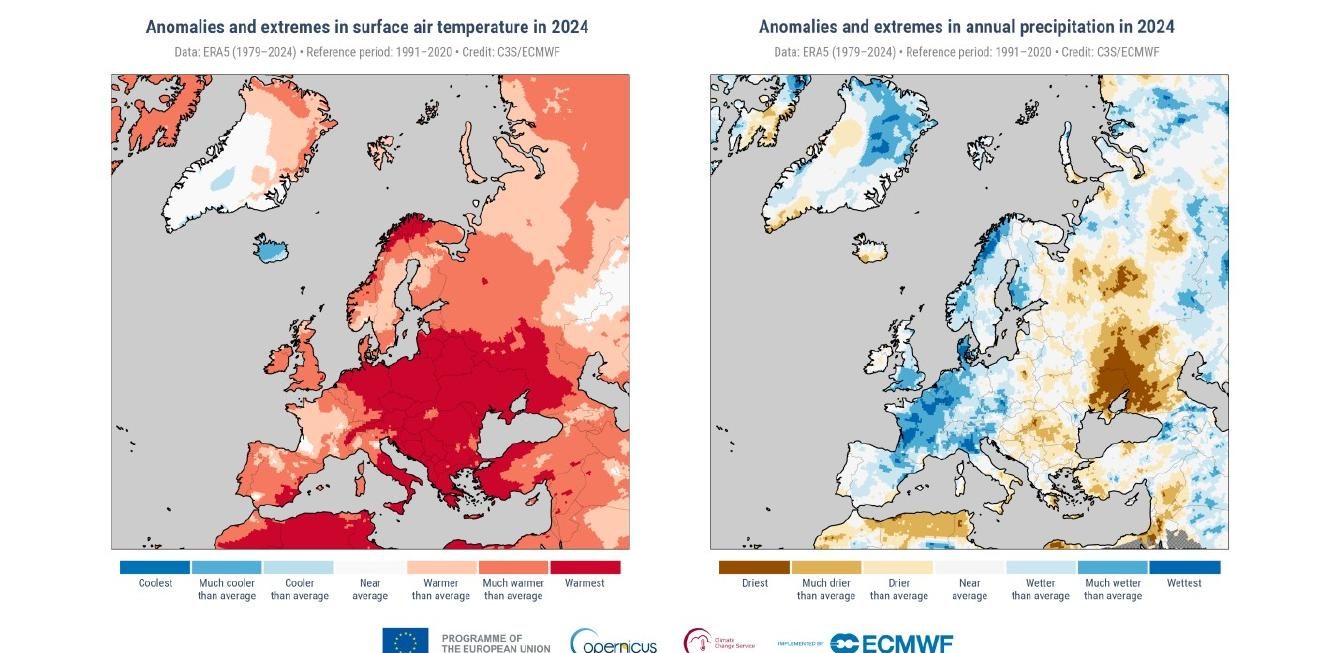
Over the past 20–30 years, scientific evidence shows a clear increase in both the frequency and intensity of extreme meteorological and hydrological events, driven by climate change. According to the European 2024 climate report: 30% of the continent’s river network recorded “high” flood discharges, 12% reached “severe” flood levels. Floods and storms affected approximately 413,000 people and caused at least 335 fatalities. Economic damage exceeded 18 billion euro. The acceleration of these events means shorter warning times and lower predictability — raising the bar for real-time monitoring and early detection.
Three-layer integrated approach
1. Land planning and management
Reduces where and how often hazards occur: sustainable land use planning, reforestation, slope stabilization, drainage improvement, riverine corridor and floodplain maintenance.
2. Structural protection works
Reduces damage extent: levees, retention basins, bridge redesign, sabo dams, rockfall barriers. Structures are essential but don’t eliminate risk — every structure has a design threshold.
3. Monitoring and early warning
Reduces severity of impact on people and infrastructure, providing precious time and ensuring evidence-based interventions.
Application scenarios
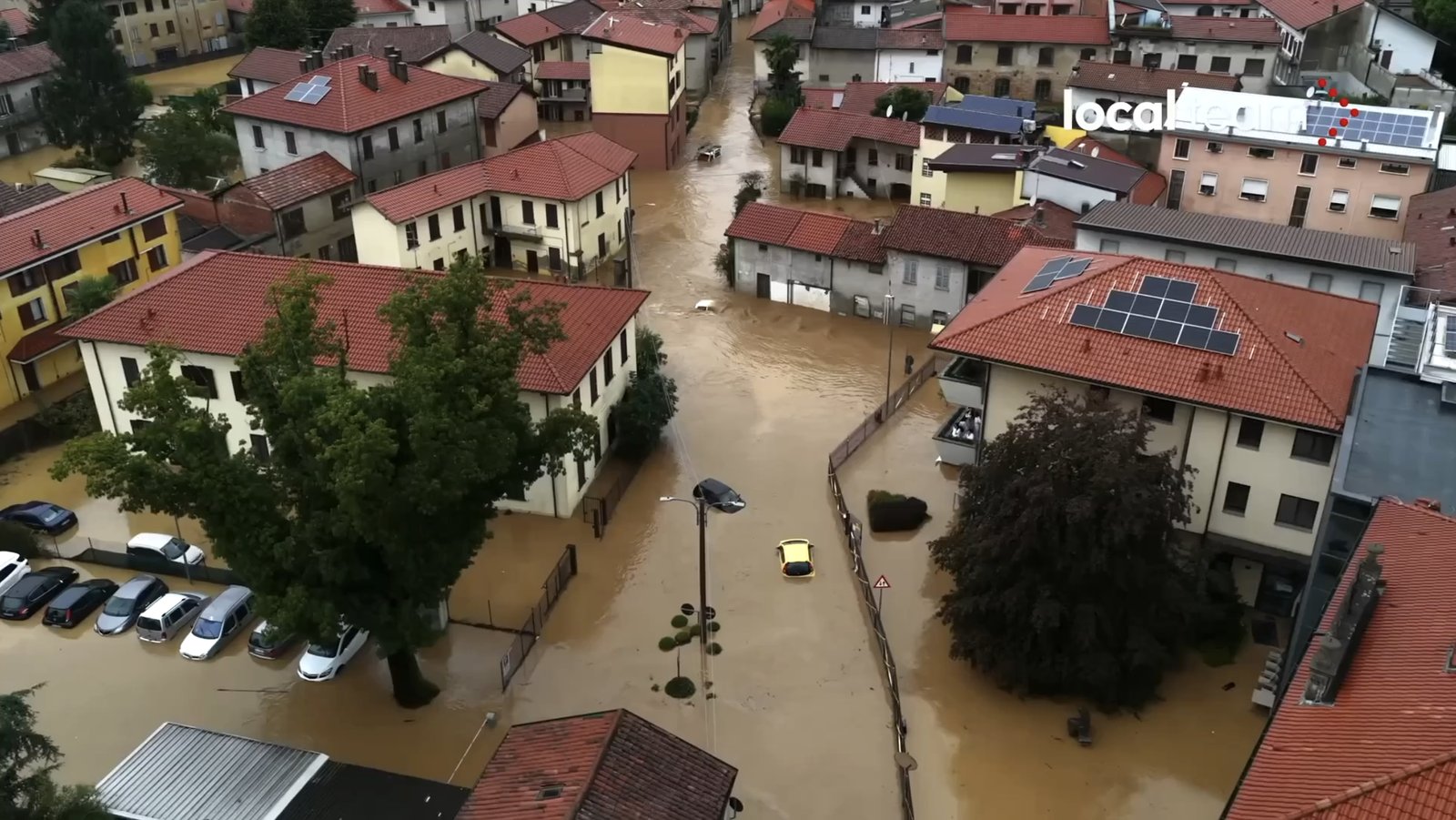
Floods and river overflows
Radar and ultrasonic water-level sensors, rain gauges, automatic cameras for visual confirmation. Threshold breach triggers alerts to local authorities and automatic closure of fords, bridges or underpasses.
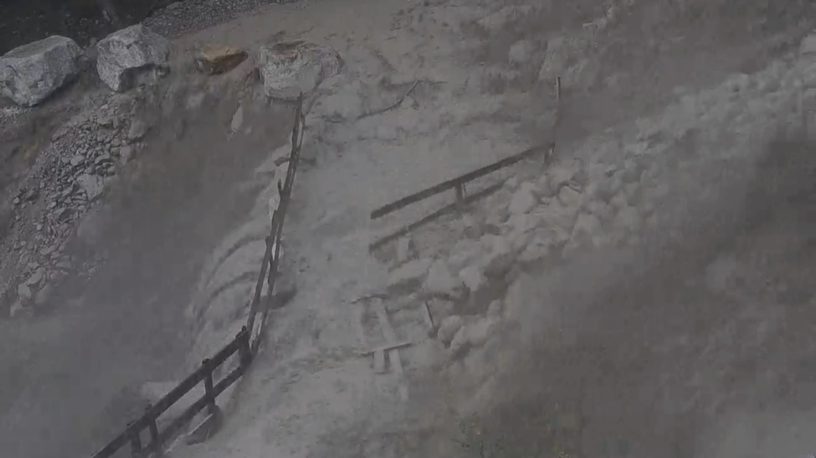
Debris flows
Upstream impact sensors, trip wires and seismic sensors for first-movement detection; rain-intensity weather stations for early warning. Alerting via automatic barriers, traffic lights and sirens along channels or roads.
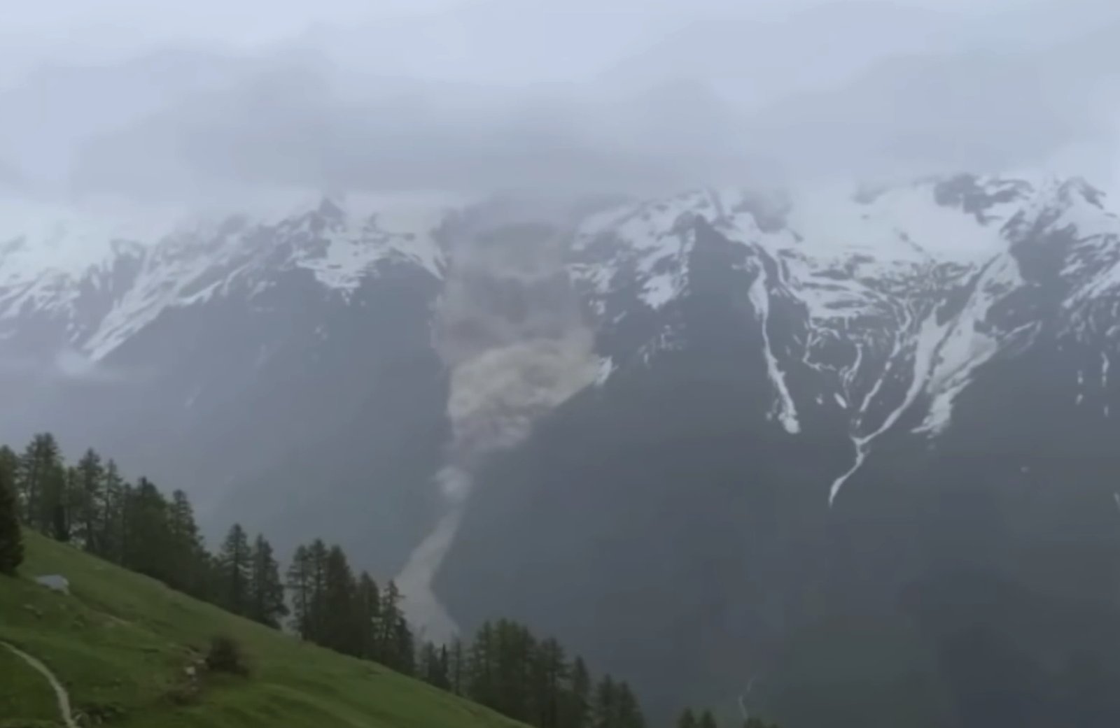
Landslides and rockfalls
Continuous deformation monitoring: ground-based InSAR radar, Doppler radar for real-time fast-movement detection, GNSS/GPS networks for surface displacement, trip wires and accelerometers on rockfall barriers, fissure gauges, inclinometers and extensometers for in-depth monitoring.
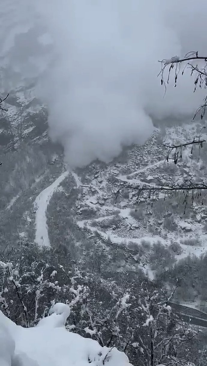
Avalanches
Doppler radar for wide-area avalanche detection, impact sensors for narrow gullies, weather sensors for snow accumulation and thermal gradients. Automatic closure systems and real-time alerts to local authorities.
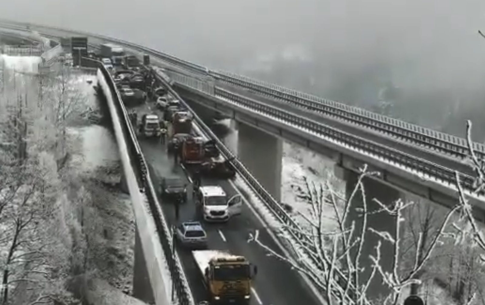
Road safety and atmospheric hazards
Road weather stations (rainfall intensity, ice formation, precipitation type, humidity, visibility, air temperature), in-pavement sensors (asphalt temperature, surface grip, residual salt), automatic camera verification. Alerting via variable message signs, salt-spreading orders and driver warnings.
Our solutions
Tecnica Formazione Sicurezza delivers integrated, autonomous monitoring and early warning systems designed for multi-hazard environments.
- High-performance sensors and redundant data transmission (4G/5G, low-power wide-area wireless protocol, satellite)
- Cloud platform for visualization, long-term archiving and real-time consultation
- On-site alerting (traffic lights, sirens, barriers)
- Remote alerting for technical staff, Civil Protection agencies, road operators, municipal authorities
- Public alerting tools for citizen safety and community awareness
- Integrated operational procedures aligned with Civil Protection risk management plans
Doppler radar technology focus
Doppler radar continuously emits 9–11 GHz electromagnetic waves via FMCW technology. When an avalanche, debris flow or moving mass enters the field of view (up to 90° × 40°), waves are reflected with a frequency shift proportional to target velocity. The Doppler shift enables detection of fast movements at long range and discrimination between event magnitudes.
- Wide coverage — 90° × 40° field of view
- All-weather performance — fog, snow, rain, total darkness
- Maximum range — up to 10 km
- Modular architecture — solar panels and fuel cells, IoT, 4G/5G and satellite
Jarvis software platform
Monitoring data flows into the Jarvis platform, a modular system for integrated event and emergency management usable as ICS (Incident Command System) or under the Augustus standard of the Italian Civil Protection. Jarvis is natively multilingual, suitable for border areas and cross-border cooperation.

The cloud service carries the ACN qualification (Italian National Cybersecurity Agency) required for cloud services to public administration. Open-format data export (CSV, JSON, XML), documented and versioned REST API for integration with GIS platforms, SCADA systems, control rooms and unified response centers.


Ready to start a project?
We design, supply, install and operate monitoring and early warning systems tailored to the territory and operational scale. For Civil Protection, municipalities, water boards, road and rail operators, utilities and industrial operators exposed to natural hazards.